The Parish of Latton and Eysey
 Location
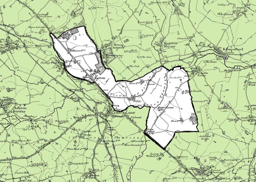
Latton is a village located 1.5 miles (2.4 km) north of Cricklade, on the county border with Gloucestershire. The village is bypassed by the A419 Road from Swindon to Cirencester. The parish includes the hamlet of Eysey, formerly a village with its own church and parish. Watercourses form several of the parish boundaries. In the northeast (also the county boundary) the boundary is the Ampney Brook; in the south, the River Thames and its tributary the River Ray, and in the northwest the River Churn another tributary of the Thames.
History
The village of Latton lies near Ermin Street, the Roman Road which ran southeast–northwest
from Silchester to the present-day Cirencester and Gloucester.
The Domesday Book of 1068 recorded a settlement of some 20 households at Latone, with two mills. Land at Latton and "Esi" was held by Reinbald, as recorded in a 1067 writ of William I. Latton and Eisey were granted in 1133 by Henry I to Cirencester Abbey.
In 1896, the parish of Eysey was added to Latton Parish, extending it to the east and south and more than doubling its area. In 1984, after the A419 had been straightened to bypass Cricklade, land on the town's side of the road was transferred to Cricklade Parish. Gravel extraction began on a small scale in the 16th century, and extensive sand and gravel extraction from land south-west of Ermin Street began in the mid 1990s. Two lakes from these extractions form an extension of the Cotswold Water Park. The Co-op Society had a creamery near Latton from 1935, which employed some 139 people in 1956; it closed around 1996
 Eysey
Eysey
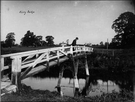
The ancient parish of Eisey or Eysey lay east of Latton. In the Middle Ages there were settlements at Eysey and Water Eaton, which have both dwindled to farms.
There was a small church called St Mary at Eysey from the 12th century or earlier until its closure in 1948; the church was demolished in 1953, it was a rebuild of 1844. There had been a dependant chapel at Water Eaton, dedicated to St Laurence, from the 12th century or earlier until the 17th. In 1819 a united parish of Latton and Eysey was created.
 Church of St John the Baptist
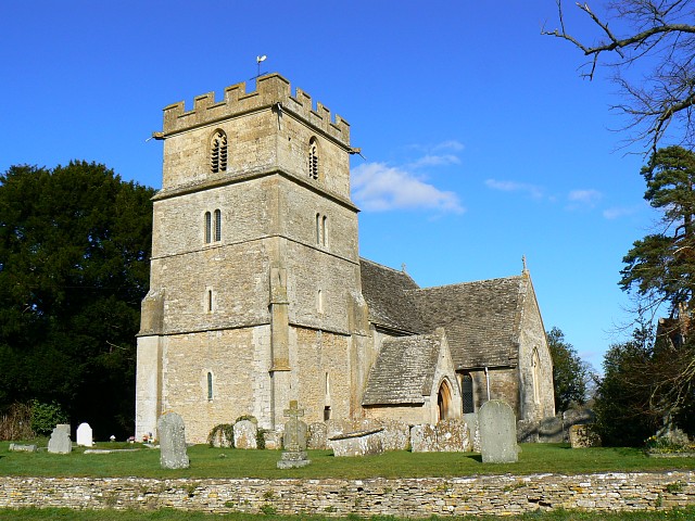
The present Church of England Parish Church dates from the 12th century. The lower part of the tower, the tower arch and chancel arch are from that century, and there is a late 12th century south door; the transepts are c. 1300. The 19th-century restoration included partial rebuilding by the architect William Butterfield in 1858–63 and the nave was restored in 1992.
The tower has five bells, four of them dated 1709 and made by the elder Abraham Rudhall, a bell casting family business based in Gloucester since before the 14th century. The church was designated as Grade I listed in 1955.
In 1819, Latton was united with the neighbouring ecclesiastical Parish of Eysey. In 1952, Latton was united with two Cricklade parishes, and outlying parts of the former Eysey Parish were transferred to its neighbours. Today the Parish is part of the Upper Thames benefice.
 Transport
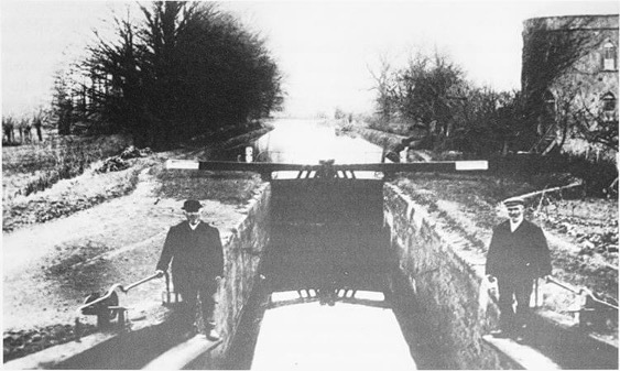
The Thames and Severn Canal opened in 1789, passed through the Parish, connecting Stroud with the River Thames at Lechlade until its closure in 1933. Near the village was a junction with the North Wiltshire Canal, a branch of the Wilts and Berks Canal which provided a connection to Swindon from 1819 until 1914. The road which followed the route of Ermin Street was designated the A4 in 1922 and became a trunk road in 1946. In 1997, Latton was bypassed to the west by a new section of the A419.
Click here to download the history of The Parish of Latton and Eysey